
Piusplatz (Munich)
| Piusplatz | |
|---|---|
|
|
|
 Piusplatz, in the background St. Pius |
|
| Basic data | |
| place | Munich |
| District | Berg am Laim |
| Created | around 1930 |
| Newly designed | 2011/12 |
| Confluent streets | Aschheimer Strasse, Aßlinger Strasse, Heufelder Strasse, Westerhamer Strasse, Achentalstrasse, Birkkarspitzstrasse, Lalidererstrasse |
| Buildings | St. Pius |

The Pius Place is a public green space in the Munich district Berg am Laim . It takes its name from the nearby church of St. Pius . Most of the surrounding houses date from the 1930s to 1950s and are owned by the municipal housing association GEWOFAG .
With the simple residential areas in the area, it belongs to the “Innsbrucker Ring / Baumkirchner Straße” redevelopment area decided in 2005 and was redesigned from April 2011 to August 2012. New lounge areas were created on the square.
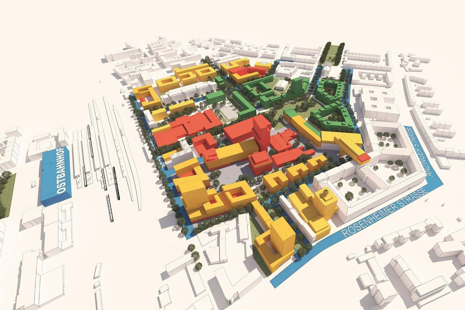
The concept for the new Werksviertel envisages that Piusplatz will be connected to it by a green corridor .
Individual evidence
- ↑ Proposal for the meeting of the building committee of the Munich City Council. (PDF; 95 kB) (No longer available online.) City of Munich - Building Department, March 16, 2010, archived from the original on September 14, 2014 ; Retrieved July 10, 2012 . Info: The archive link was inserted automatically and has not yet been checked. Please check the original and archive link according to the instructions and then remove this notice.
- ↑ Map of the Werksviertel. In: werksviertel-relaunch.de. Retrieved April 9, 2020 .
Coordinates: 48 ° 7 ′ 22.1 ″ N , 11 ° 36 ′ 49.6 ″ E