Plantain (island)
| Plantain | ||
|---|---|---|
| Waters | Atlantic Ocean | |
| Geographical location | 7 ° 55 ′ N , 12 ° 59 ′ W | |
|
|
||
| length | 1.3 km | |
| width | 430 m | |
| surface | 0.24 km² | |
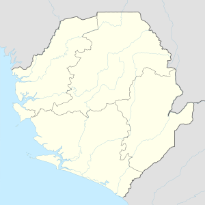
Plantain ( English Plantain Island ) is an island that belongs to the West African state of Sierra Leone . It is located west of the African mainland and belongs to the Chiefdom Kagboro in the Moyamba district of the Southern Province .
The island is a maximum of 1.3 kilometers long, almost 430 meters wide and covers an area of about 0.24 square kilometers and is densely populated in the eastern three quarters. It is surrounded by fine sandy beaches and covered in evergreen bushland to the west. It is named after the Plantain .
Plantain was an important hub for the slave trade in the 18th and 19th centuries . Here you will find a national monument of Sierra Leone with the ruins of John Newton's house and slave barracks .
Individual evidence
- ↑ Google Earth Pro. Retrieved March 8, 2019.
- ↑ Iceland. Ministry of Tourism and Cultural Affairs. Retrieved March 8, 2019.
