
Pleebo
| Pleebo | |||
|---|---|---|---|
|
|||
| Coordinates | 4 ° 35 ′ N , 7 ° 40 ′ W | ||
| Basic data | |||
| Country | Liberia | ||
| Maryland | |||
| ISO 3166-2 | LR-MY | ||
| height | 46 m | ||
| Residents | 22,693 (2008) | ||

Pleebo is a city in the southeast of the Republic of Liberia . It is located about 25 kilometers north of the provincial capital Harper in Maryland County .
description
Pleebo is an up-and-coming economic center in eastern Liberia with markets, banks, a customs post and a police station. There are several UNMIL bases, a helipad and refugee camps on the border with Ivory Coast near the city . A considerable infrastructure has developed in Pleebo thanks to the support of international aid organizations and Christian churches. A small power station supplies the administration, a health center, schools and businesses. There is a local radio station Voice of Pleebo in town .
The population of the city of Pleebo was 22,693 at the last census (2008), making Pleebo the most populous city in Maryland County.
literature
- JW Lugenbeel: The republic of Liberia: its geography, climate, soil and productions, with a history of its early settlements . GS Stockwell, New York 1868 ( books.google.de ).
- Hayti and Liberia . In: The Maryland Colonization Society (Ed.): Maryland Colonization Journal . tape 2 . Baltimore 1843, p. 210 ( books.google.de - full text).
Web links
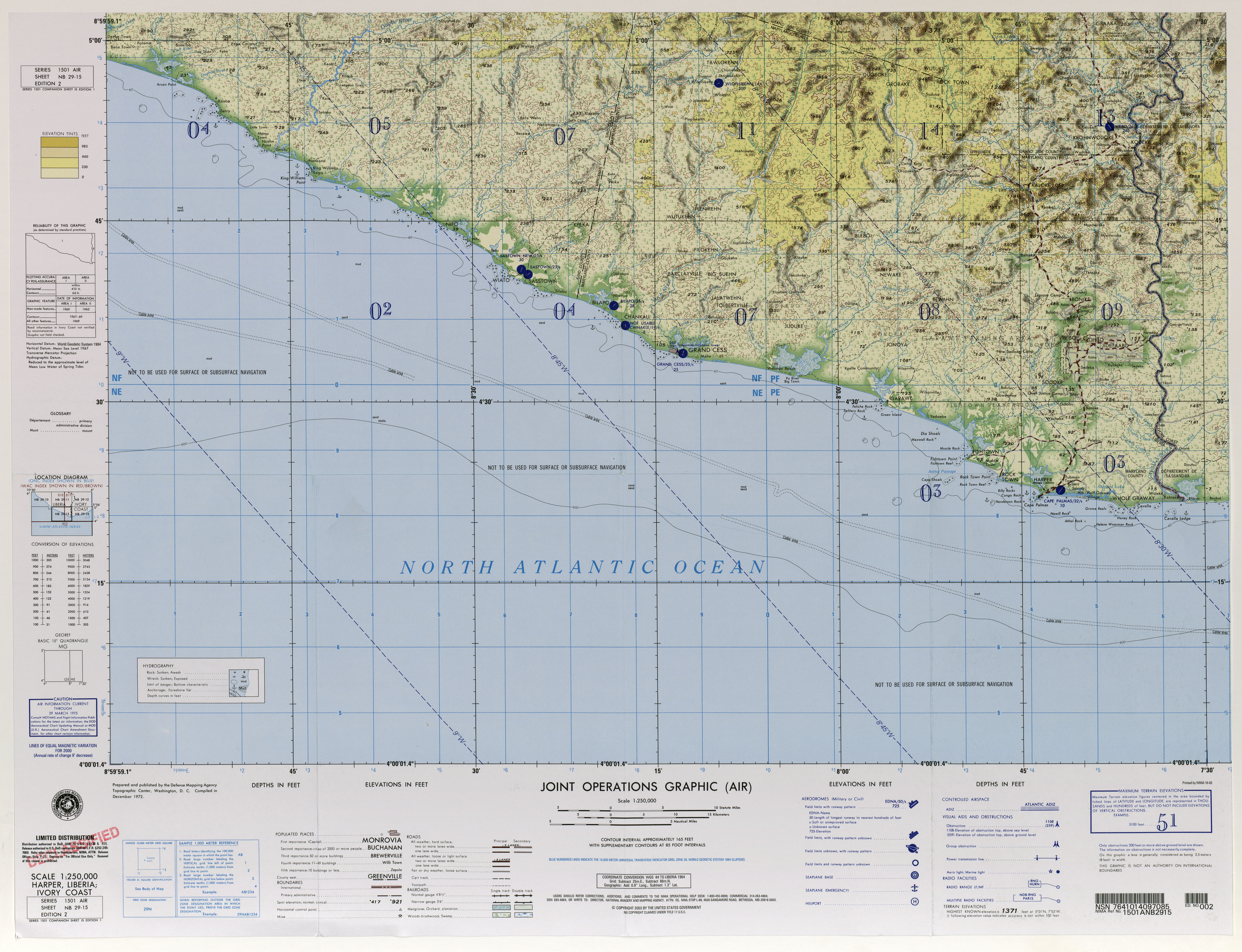
- University of Texas US Military Map Collection : TK250, Maps of Africa, Liberia. (JPG; 5.7 MB, English) Sheet NB 29-15, Harper, 2nd Ed., Washington 1964.
Individual evidence
- ^ Mayland County Development Agenda. (PDF; 2.5 MB) Gouvernement of Liberia, July 18, 2008, p. 68 , accessed on February 2, 2011 (English).
- ↑ Final results of the 2008 census, NPHC 2008 Report Final. (PDF; 676 kB) In: Liberian Institute of Statistics and Geo-Information-Systems (LISGIS). Retrieved October 11, 2010 .