Pokonji Dol
| Pokonji Dol | ||
|---|---|---|
| Pokonji Dol, from the Korčula - Split ferry | ||
| Waters | the Adrian Sea | |
| Archipelago | Paklinski Archipelago | |
| Geographical location | 43 ° 9 '23 " N , 16 ° 27' 9" E | |
|
|
||
| length | 160 m | |
| width | 130 m | |
| surface | 1.669 7 ha | |
| Highest elevation | 11 m | |
| Residents | uninhabited | |
| Sketch map of the Paklinski archipelago | ||
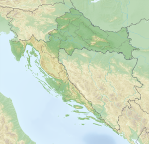
Pokonji Dol is a small island on the Croatian Adriatic coast . It is located 500 meters south of the much larger island of Hvar . It belongs to the Paklinski Archipelago ( Hell Islands ) and is the easternmost island in this group, 1100 meters east of the island of Jerolim . The island measures 160 meters from north to south, and is a maximum of 130 meters wide. Its surface area is 16,697 square meters, with a circumference (coastline) of 470 meters.
Administratively, the island, like its neighboring islands, belongs to the Split-Dalmatia County and the urban area of the city of Hvar .
The lighthouse in the center of the island was built in 1872.
Individual evidence
- ↑ DRŽAVNI PROGRAM ZAŠTITE I KORIŠTENJA MALIH, POVREMENO NASTANJENIH I NENASTANJENIH OTOKA I OKOLNOG MORA ( page no longer available , search in web archives ) Info: The link was automatically marked as defective. Please check the link according to the instructions and then remove this notice. (PDF; 4.7 MB)


