Post pond
| Post pond | ||
|---|---|---|

|
||
| Geographical location | Westerwaldkreis , Rhineland-Palatinate , Germany | |
| Tributaries | from the Brinkenweiher | |
| Drain | House pond → Holzbach | |
| Data | ||
| Coordinates | 50 ° 34 ′ 1 ″ N , 7 ° 49 ′ 18 ″ E | |
|
|
||
| surface | 13 ha | |
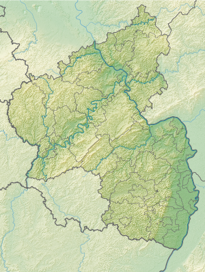
The Postweiher (also Freilinger Weiher ) is a 13 hectare pond on the Westerwald lake district . It is connected to the Brinkenweiher and Hausweiher by closable canals and is located between Freilingen and Steinen . In autumn the water is drained from the pond.
history
The post pond was created around 1655 when the Holzbach was dammed at the request of Friedrich III. von Wied and was used for fish farming. In 1912, a bathing jetty was approved, from which the Freilingen lido was created in 1929. In 1950, a campsite was set up south of the lido.
Web links
Commons : Postweiher - collection of pictures, videos and audio files
- Information from the Verbandsgemeinde at westerwaelder-seenplatte.de
- State Office for Surveying and Basic Geographic Information Rhineland-Palatinate LVermGeo.rlp.de
