Brinkenweiher
| Brinkenweiher | ||
|---|---|---|

|
||
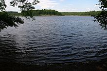
| View from the west over the Brinkenweiher | ||
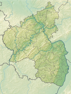
| Geographical location | Westerwald Lake District | |
| Drain | Holzbach | |
| Location close to the shore | Stones | |
| Data | ||
| Coordinates | 50 ° 34 '19 " N , 7 ° 49' 9" E | |
|
|
||
| Altitude above sea level | 406 | |
| surface | 21 ha | |
|
particularities |
||
The Brinkenweiher is located approx. 400 meters east of the municipality of Steinen and, with approx. 21 hectares of water, is the third largest pond in the Westerwald lake district . It was declared a nature reserve in 1977 .
history
Emergence
The Brinkenweiher was by Count Friedrich III. von Wied created around 1660 by damming the source streams of the Holzbach .
The pond was used (like the other lakes in the Westerwald lake district ) for fish farming until it was placed under nature protection in 1977.
The Brinkenweiher today
Nowadays the pond in the east is surrounded by a thick forest. In the north, however, it has a marshy bank where rare animals (especially birds) live and breed.
This bank area becomes smaller in a westerly direction, until it is finally replaced by the meadows belonging to the stones.
In the south it is only separated from the post pond, which also belongs to the lake district, by a narrow dam, over which there is also a path.


