Priest Lake, Idaho
| Priest Lake | |||||||||
|---|---|---|---|---|---|---|---|---|---|
| Cavanaugh Bay, Priest Lake. | |||||||||
|
|||||||||
|
|
|||||||||
| Coordinates | 48 ° 34 '0 " N , 116 ° 52' 0" W | ||||||||
| Data on the structure | |||||||||
| Data on the reservoir | |||||||||
| Water surface | 105 km² | ||||||||
| Reservoir length | 31 km | ||||||||
| Reservoir width | 5 km | ||||||||
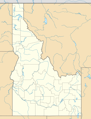
The Priest Lake is a lake in Idaho Panhandle in the northwest of the State of Idaho .
The Priest Lake has an area of 105 km², a longitudinal extension in north-south direction of 31 km and a maximum width of 5 km. The lake is located in the Selkirk Mountains at an altitude of 743 m . It is traversed by the Priest River in a southerly direction. A weir has been regulating the water level at the outlet at the southern end of the lake since August 9, 1950. In the summer months this is determined by the leisure interests of those seeking relaxation. In the winter months, the reservoir serves as a storage facility for the downstream hydropower plants.
history
The lake was formed about 10,000 years ago during the Wisconsin glacial period . The area around Priest Lake was first settled by white settlers around 1800.

