Puugutaa
| Puugutaa | ||
|---|---|---|
| Waters | Tasiusaq Bay , Baffin Bay , Atlantic Ocean | |
| Archipelago | Upernavik archipelago | |
| Geographical location | 73 ° 0 ′ N , 55 ° 30 ′ W | |
|
|
||
| length | 10.6 km | |
| width | 11.1 km | |
| surface | 71 km² | |
| Highest elevation | 363 m | |
| Residents | uninhabited | |
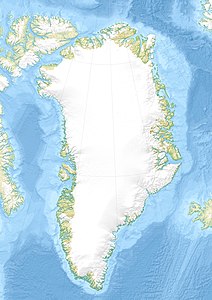
Puugutaa (according to the old spelling Pûgutâ , German for his dishes ) is an uninhabited island in the Upernavik district in Avannaata Kommunia , Greenland with a height of 363 m.
The island belongs to the Upernavik Archipelago and is located in Tasiusaq Bay .
geography
Puugutaa is located six kilometers northeast of Aapparsuaq , nine kilometers southeast of Sisuarissut and north of the Upernavik Icefjord .
climate
The annual mean temperature is −9 ° C. The highest average temperature is in July with 8 ° C, the lowest in March with −20 ° C.
Individual evidence
- ↑ Puugutaa near Mapcarta
- ^ Upernavik , Saga Map, Tage Schjøtt, 1992
