Quinebaug River Prehistoric Archeological District
| Quinebaug River Prehistoric Archeological District | ||
|---|---|---|
| National Register of Historic Places | ||
| Historic District | ||
|
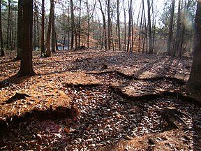
Excavation area in an Indian fishing village |
||
|
|
||
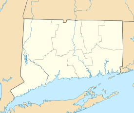
| location | Canterbury , Windham County , Connecticut | |
| Coordinates | 41 ° 40 '23.5 " N , 71 ° 57' 25.6" W | |
| surface | 8.9 ha | |
| NRHP number | 09000696 | |
| The NRHP added | ||
The Quinebaug River Prehistoric Archeological District is an archaeological monument established to protect several prehistoric archaeological sites in Canterbury , Connecticut along the Quinebaug River . The district comprises 22 acres of state land on the west bank of the river, east of Connecticut Route 169 , south of Connecticut Route 14, and north of Connecticut Route 668 . Five different sites of archaeological importance were discovered during survey work in 2001 and 2002. The pitches have dimensions between 6.4 acres (2.6 hectares) and 0.25 acres (0.1 hectares). Most of the finds come from the Woodland period . Two of the places may be from the Archaic period . In all of them, excavations can bring further finds to light. On September 7, 2009, the site was added to the National Register of Historic Places as a Historic District .
Individual evidence
- ^ NRHP nomination for Quinebaug River Prehistoric Archeological District . National Park Service. Retrieved January 15, 2015.
- ^ Quinebaug River Prehistoric Archeological District in the National Register Information System. National Park Service , accessed August 1, 2017.
Web links
- ahs-inc site of the Cultural Resource Management.
- Application for monument protection.

