Randsfjord
| Randsfjord | ||
|---|---|---|

|
||
| View from the west bank over the Randsfjord | ||
| Geographical location | Jevnaker , Gran , Søndre Land , Nordre Land ( Oppland ) | |
| Tributaries | Dokka, Etna | |
| Drain | Randselva | |
| Places on the shore | Skute, Jevnaker, Dokka, Bjorneroa, Grime, Holmen, Hov, Fluberg, Kverndalen, Odnes | |
| Data | ||
| Coordinates | 60 ° 30 ′ N , 10 ° 22 ′ E | |
|
|
||
| Altitude above sea level | 135 moh. | |
| surface | 139.23 km² | |
| volume | 7.31 km³ | |
| scope | 202.98 km | |
| Maximum depth | 120 m | |
|
particularities |
Fourth largest inland lake in Norway |
|
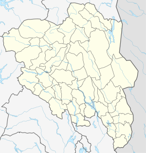
The Randsfjord is the fourth largest inland lake in Norway . The Randsfjord is located in the municipalities of Jevnaker , Gran , Nordre Land and Søndre Land .
There are two tributaries from the north: the Etna and the Dokka . The fjord stretches with a maximum width of 5 km to the southern end near the village of Jevnaker.
The two main roads RV 245 (west bank) and RV 34 and RV 240 (both on the east bank) run along the bank.
