Rudbar-Lorestan
| Rudbar-Lorestan | |||||||||||
|---|---|---|---|---|---|---|---|---|---|---|---|
|
|||||||||||
|
|
|||||||||||
| Coordinates | 32 ° 54 '20 " N , 49 ° 39' 59" E | ||||||||||
| Data on the structure | |||||||||||
| Lock type: | RCC dam | ||||||||||
| Construction time: | 2003-2017 | ||||||||||
| Height of the barrier structure : | 156 or 158 m | ||||||||||
| Building volume: | 4.596 million m³ | ||||||||||
| Crown length: | 185 m | ||||||||||
| Crown width: | 15 m | ||||||||||
| Power plant output: | 450 MW | ||||||||||
| Data on the reservoir | |||||||||||
| Altitude (at congestion destination ) | 1756 m | ||||||||||
| Water surface | 4.11 km² | ||||||||||
| Reservoir length | 20 km | ||||||||||
| Catchment area | 2255 km² | ||||||||||
| Design flood : | 3 342 m³ / s | ||||||||||
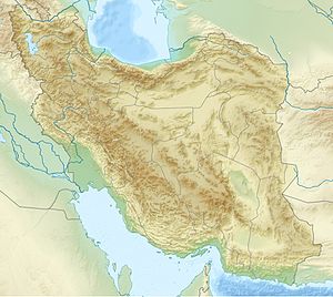
The Rudbar-Lorestan Dam is a dam with a large hydroelectric power station on the Rudbar River , a tributary of the eastern Dez , also called Bakhtiari, in the Iranian province of Lorestan . The structure is located in the Zāgros Mountains about 100 kilometers from the city of Aligudarz . It has a rolled concrete - gravity dam .
The hydropower plant has been in operation since May 31, 2017. The total capacity of the two generators is 450 megawatts. It is a natural gradient of more than 300 meters drop height used.
See also
- List of the largest dams on earth
- List of the largest reservoirs on earth
- List of the largest hydroelectric plants in the world
- List of dams in the world
Web links
- Animated map of the power plant cascades
- Rudbar Lorestan Project
- Complex seismotectonic and topographical conditions at the Rudbar-Lorestan rubble dam in Iran
