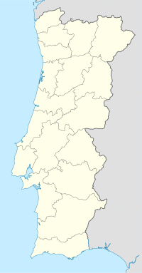
Carrapatelo lock
| Carrapatelo lock | ||
|---|---|---|
|
|
||
| Coordinates | 41 ° 5 '11 " N , 8 ° 7' 57" W | |
| Country: | Portugal | |
| Place: | Carrapatelo | |
| Waters: | Duero | |
| Water kilometers : | km 65 | |
| Data | ||
| lock | ||
| Type: | Inland lock | |
| Usable length: | 87 m | |
| Usable width: | 11.4 m | |
| Average height of fall : |
35.0 m | |
| Others | ||
The Carrapatelo lock is located in the Douro at the Carrapatelo dam .
history
The lock was built together with the Barragem do Carrapatelo dam between 1965 and 1972 and opened on June 18, 1972 by President Américo Tomás . It is the oldest and at the same time the highest of the five locks in the Portuguese part of the river, which allow continuous navigability from the Atlantic to the Spanish border.
Location and technical data
The chamber of the individual lock is 65 kilometers above the mouth of the river on the northern bank, has a chamber length of 88 m and a chamber width of 12.1 m. The lock is a shaft lock and has a drop height of max. 35.0 m. With this drop height, it is the lock with the second largest drop height in Europe after the Saporoshje lock on the Dnieper . The filling time of the chamber is given as 12.5 minutes. Locking is possible for vessels with a length of up to 87.00 m, a width of 11.40 m and a maximum draft of 3.80 m.
Web links
- Website of the Barragem de Carapatelo at the Portuguese dam commission Comissão Nacional Portuguesa das Grandes Barragens (port.)
Individual evidence
- ^ A b c Hans-Joachim Uhlemann: Canals and hydraulic structures in Spain and Portugal. (PDF; 1.5MB) Report on a trip through France and Portugal to study shipping canals, lifts and locks from April 24 to May 21, 1995. In: peter haas. 2007, archived from the original on March 9, 2014 ; accessed on March 9, 2014 (German).
- ↑ Distances et durée de déplacement entre les principaux quais, ports et écluses de navigation de la voie navigable du Douro. (PDF; 88kB) Instituto Portuário e dos Transportes Marítimos, accessed on March 9, 2014 (French).
- ^ Canal de Navegação. Instituto Portuário e dos Transportes Marítimos, accessed March 9, 2014 (Portuguese).
- ^ Barrage de Carrapatelo. Instituto Portuário e dos Transportes Marítimos, accessed on March 9, 2014 (French).
