Serra da Cantareira
| Serra da Cantareira | ||
|---|---|---|
|
Serra da Cantareira from the tower of the São Paulo-Guarulhos airport seen from |
||
| Highest peak | Pico do Jaraguá ( 1135 m ) | |
| location | São Paulo , Brazil | |
|
|
||
| Coordinates | 23 ° 27 ′ S , 46 ° 46 ′ W | |
| surface | 648 km² | |
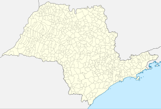
The Serra da Cantareira is a mountain range on the northern edge of the Brazilian city of São Paulo . It extends over an area of 64,800 hectares and belongs to the urban areas of São Paulo, Guarulhos , Mairiporã and Caieiras .
In the south of the mountains, 7,916 hectares of land are under strict nature protection as the Canatreira State Park ( Parque Estadual da Cantareira ). The park is one of the last areas in the state of São Paulo , in which there are even larger stocks of the original Atlantic rainforest vegetation. The region is also responsible for a large part of the drinking water supply in São Paulo.
In the north of the Serra da Cantareira, especially in Mairiporã , there are various upper-class residential areas as well as paths and trails for mountain bikers .
Web links
Individual evidence
- ↑ City administration of Caieiras ( page no longer available , search in web archives ) Info: The link was automatically marked as defective. Please check the link according to the instructions and then remove this notice.

