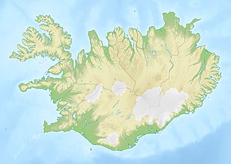
Skorhagafoss
| Skorhagafoss | ||
|---|---|---|
|
The Skorhagafoss |
||
| Coordinates | 64 ° 21 '31.3 " N , 21 ° 24' 6.1" W | |
|
|
||
| place | Höfuðborgarsvæðið , Iceland | |
| height | 4th | |
| flow | Brynjudalsá → Hvalfjörður | |
The Skorhagafoss is a waterfall in the capital area of Iceland .
This waterfall is located on the south coast of Hvalfjörður . The Hvalfjarðarvegur ![]() crosses the river barely 500 m west of Skorhagafoss and this is easy to miss. The Brynjudalsá River flows out of the Sandvatn Lake and falls only 4 m.
crosses the river barely 500 m west of Skorhagafoss and this is easy to miss. The Brynjudalsá River flows out of the Sandvatn Lake and falls only 4 m.
Only 8 km (as the crow flies) away, the Glymur falls 196 m deep. It was Iceland's highest waterfall until Morsárfosses was discovered , but can only be reached by hike.
See also
Individual evidence
- ↑ Skorhagafoss. Accessed August 8, 2019 .

