Sugarloaf (Grenada)
| Sugarloaf | ||
|---|---|---|
| Waters | Caribbean Sea | |
| Archipelago | Grenadines | |
| Geographical location | 12 ° 14 ′ N , 61 ° 36 ′ W | |
|
|
||
| Residents | uninhabited | |
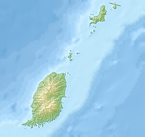
Sugarloaf (also: Ile de Levera , Levera Islet ) is an island in Grenada in the Lesser Antilles in the Caribbean .
geography
The island is off the northeast coast of Saint Patrick . It belongs to the series of Green Island and Sandy Island and Bird Island (Grenada) , which begins with Bedford Point (Pointe de Levera) in northeastern Grenada. It rises to about 53 m .
Individual evidence
- ↑ geonames.org and gd.geoview.info .
