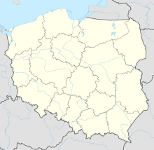
Synagogue (Czarny Dunajec)
Coordinates: 49 ° 26 '27.2 " N , 19 ° 51' 23" E
The synagogue in Czarny Dunajec , a Polish village in the Lesser Poland Voivodeship , was built in the early 20th century. The secular synagogue at Henryka-Sienkiewicza-Strasse 10 was devastated by the German occupiers during World War II .
The brick masonry synagogue building with arched windows has long been used as a warehouse.
Web links
- Synagogue in Czarny Dunajec, with six photos at Virtual Shtetl (English and Polish)

