T-cave
| T-cave
|
||
|---|---|---|
|
T-profile of the cave |
||
| Location: | Dead Mountains near Bad Ischl , Upper Austria | |
| Height : | 545 m above sea level A. | |
|
Geographic location: |
47 ° 41 '37 " N , 13 ° 41' 18" E | |
|
|
||
| Cadastral number: | 1616/8 | |
| Geology: | Dachstein Limestone | |
| Overall length: | 80 m | |
| Level difference: | +16 m | |
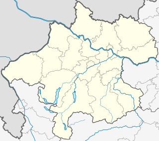
The T-cave ( cadastral number 1616/8) is a water-bearing cave in the Totes Gebirge on the Bad Ischl municipality in Upper Austria. It is located in the Rettenbachtal at 545 m above sea level. A. at the junction from the Rettenbachalmstraße into the Grabenbach-Forststraße, immediately before the bridge on the orographic right bank of the Rettenbach. A special feature of this cave are many beautifully modeled megalodonts .
description
The T-cave is a layer joint cave with a narrow, up to 2 m deep eroded channel, in which the cave stream flows. Above that there is a horizontal space that gives the cave a pronounced T-profile. The cave stream disappears a few meters from the inconspicuous small entrance in the block. From the entrance the cave extends in its main direction to the northwest, initially with a conspicuous T-profile, only in the rear half is the spatial development larger. The end of the cave forms a siphon .
Individual evidence
- ↑ Erhard Fritsch: The caves of the Rettenbach valley near Bad Ischl. 1st chapter. In: Apollo. 44, 1976, pp. 4-7 ( PDF (4.3 MB) on ZOBODAT ).

