Alto Ceira dam
| Alto Ceira dam | |||||
|---|---|---|---|---|---|
| The barrier structure seen from the headwater | |||||
|
|||||
|
|
|||||
| Coordinates | 40 ° 11 '24 " N , 7 ° 50' 43" W | ||||
| Data on the structure | |||||
| Construction time: | 1940 to 1949 | ||||
| Height above foundation level : | 33.5 m | ||||
| Height of the structure crown: | 666.9 m | ||||
| Building volume: | 7,000 m³ | ||||
| Crown length: | 85 m | ||||
| Data on the reservoir | |||||
| Altitude (at congestion destination ) | 665.4 m | ||||
| Water surface | 0.108 km² | ||||
| Storage space | 0.4 million m³ | ||||
| Total storage space : | 1.2 million m³ | ||||
| Design flood : | 100 m³ / s | ||||
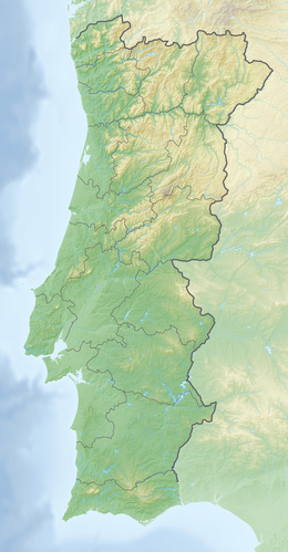
The Alto Ceira dam ( Portuguese Barragem do Alto Ceira ) is located in the central region of Portugal in the Coimbra district . It dams the Ceira , a left (southern) tributary of the Mondego, to a reservoir. The municipality of Piódão is about four kilometers northeast of the dam.
The project to build the dam began in 1940. The construction was completed in 1949. The dam is owned by HIDROCENEL .
Barrier structure
The barrier structure is an arch dam with a height of 33.5 m above the foundation level . The top of the wall lies at a height of 666.9 m above sea level . The length of the top of the wall is 85 m. The volume of the dam is 7,000 m³.
The dam wall has both a bottom outlet and a flood relief . A maximum of 100 m³ / s can be discharged via the flood relief. The design flood is 100 m³ / s.
Reservoir
With the normal storage target of 665.4 m, the reservoir extends over an area of around 0.108 km² and holds 1.2 million m³ of water - of which 0.4 million m³ can be used.
See also
Web links
Individual evidence
- ↑ a b c d ALTO CEIRA DAM. APA Barragens de Portugal, accessed December 27, 2014 .

