Horseshoe Dam
| Horseshoe Dam | |||||||||
|---|---|---|---|---|---|---|---|---|---|
|
|||||||||
|
|
|||||||||
| Coordinates | 33 ° 59 '1 " N , 111 ° 42' 32" W | ||||||||
| Data on the structure | |||||||||
| Construction time: | 1944 to 1946 | ||||||||
| Height above foundation level : | 61.5 m | ||||||||
| Crown length: | 608 m | ||||||||
| Crown width: | 5 m | ||||||||
| Base width: | 189 m | ||||||||
| Data on the reservoir | |||||||||
| Altitude (at congestion destination ) | 617.5 | ||||||||
| Water surface | 11 km² | ||||||||
| Storage space | 134.72 million m³ | ||||||||
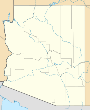
The dam Horseshoe ( English Horseshoe Dam ) is a dam in Maricopa County , State of Arizona , USA . It dams the Verde River to a reservoir (English Horseshoe Lake ). The dam is located approximately 93 km (58 miles ) northeast of Phoenix .
Construction of the dam began in 1944. It was completed in 1946.
Barrier structure
The barrier structure is a rubble dam with a height of 61.5 m (202 ft ) above the foundation level . The dam crest is at an altitude of 625.5 m (2052 ft) above sea level . The length of the dam crest is 608 m (1994 ft). The width of the dam is 189 m (619 ft) at the base and 5 m (16 ft) at the crown. The volume of the structure is 1.22 million m³ (1.59 million cubic yards ).
The dam has both flood reliefs and a bottom outlet . A maximum of 22,596 m³ / s (798,000 cft / s) can be discharged through the two flood reliefs, and a maximum of 62 m³ / s (2200 cft / s) through the bottom outlet.
Reservoir
With the normal storage target of 617.5 m (2026 ft), the reservoir extends over an area of around 11 km² (2722 acres ) and holds 134.72 million m³ (109.217 acre-feet ) of water.
See also
Web links
Individual evidence
- ↑ a b c Horseshoe Dam. United States Bureau of Reclamation (USBR), accessed December 19, 2018 .
- ^ Horseshoe Dam. Salt River Project (SRP), accessed December 19, 2018 .

