Tabueira dam
| Tabueira dam | |||||
|---|---|---|---|---|---|
|
|||||
|
|
|||||
| Coordinates | 38 ° 47 '51 " N , 8 ° 12' 56" W | ||||
| Data on the structure | |||||
| Construction time: | until 1976 | ||||
| Height above valley floor: | 22 m | ||||
| Height above foundation level : | 23 m | ||||
| Height of the structure crown: | 155 m | ||||
| Building volume: | 169,000 m³ | ||||
| Crown length: | 260 m | ||||
| Crown width: | 6 m | ||||
| Data on the reservoir | |||||
| Altitude (at congestion destination ) | 152.5 m | ||||
| Water surface | 0.46 km² | ||||
| Total storage space : | 3.5 million m³ | ||||
| Design flood : | 101.2 m³ / s | ||||
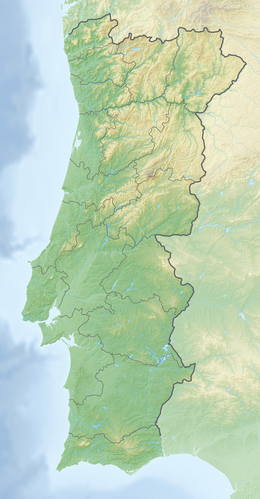
The Tabueira dam ( Portuguese Barragem de Tabueira ) is located in the Alentejo region of Portugal in the Évora district . It dams the Ribeira dos Pombos to a reservoir. The municipality of Ciborro is about a kilometer west of the dam.
The dam was completed in 1976. In addition to irrigation, it also provides drinking water. The dam is owned by the Cooperativa Agropecuária do Ciborro .
Barrier structure
The barrier structure is a dam with a height of 23 m above the foundation level (22 m above the river bed). The top of the dam is at a height of 155 m above sea level . The length of the dam crest is 260 m and its width 6 m. The volume of the dam is 169,000 m³.
The dam has both a bottom outlet and a flood relief . A maximum of 17.86 m³ / s can be discharged via the flood relief. The design flood is 101.2 m³ / s; the probability of this event occurring has been determined to be once in 250 years.
Reservoir
With a normal storage target of 152.5 m (maximum 153.5 m at high water), the reservoir extends over an area of around 0.46 km² and holds 3.5 million m³.
See also
Individual evidence
- ↑ a b c d TABUEIRA DAM. APA Barragens de Portugal, accessed January 26, 2015 .
