Tell Asmar
Coordinates: 33 ° 48 ′ 38 ″ N , 44 ° 46 ′ 0 ″ E
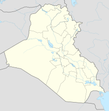
Tell Asmar is a ruin site in Iraq, it is located about 25 kilometers east of Hafaǧi , in the area of the Dijala River. It is identified with the Sumerian Eschnunna .
Digs
Between 1930 and 1936 six American excavation campaigns took place as part of the Iraq Expedition , during which the palace complexes of Šu-Sins , the Abū Temple and cuneiform tablets dating back to the Third Dynasty of Ur were discovered. Probably the most important finds (by Seton Lloyd ) were the twelve so-called consecration statuettes made of marble, which depict ten men and two women with folded hands in prayer .
Web links
literature
- Henri Frankfort: Sculpture of the Third Millennium BC from Tell Asmar and Khafājah (Oriental Institute Publications 44). Chicago 1939. ( online )
- Henri Frankfort: The Gimilsin Temple and the Palace of the Rulers at Tell Asmar (Oriental Institute publications 43). Chicago 1940. ( online )
- Hartmut Schmökel , The Land of Sumer. W. Kohlhammer Verlag, Stuttgart 1955.
