Tonypandy
Coordinates: 51 ° 37 ′ N , 3 ° 27 ′ W
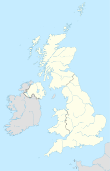
Tonypandy is a town in the Rhondda Cynon Taf local government district in Glamorgan County in south Wales . The city is located in the Rhondda Fawr valley , for whose residents Tonypandy is the main local shopping center.
Near the town is Mynydd y Gelli, an Iron and Bronze Age settlement. The city gained fame as the scene of the so-called Tonypandy uprising , a domestic political unrest in 1910 that emerged from a local miners' strike and gained national importance.
City data
- Telephone code: (044) 01443
- Postal code: CF40
Web links
Commons : Tonypandy - collection of images, videos and audio files
