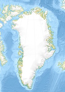
Tuttoqqortooq
| Tuttoqqortooq | ||
|---|---|---|
| Waters | Tasiusaq Bay , Baffin Bay , Atlantic Ocean | |
| Archipelago | Upernavik archipelago | |
| Geographical location | 73 ° 39 ′ N , 56 ° 36 ′ W | |
|
|
||
| Highest elevation | 587 m | |
| Residents | uninhabited | |
Tuttoqqortooq (according to the old spelling Tugtorĸortôĸ , German who has a large reindeer ) is an uninhabited island in the Upernavik district in Avannaata Kommunia , Greenland .
geography
The island is located in Tasiusaq Bay in the north-central part of the Upernavik Archipelago at the mouth of the Kangerlussuaq fjord , which cuts off the island in the northeast of Mernoq . In the east the island is separated from Qallunaat by the strait Qaqqakassaap Ikerasaa . The island is mountainous and the highest point is an unnamed mountain with a height of 587 meters in the central western part of the island.
Capes
| Surname | Localization | Latitude N. | Longitude W |
|---|---|---|---|
| Anernilik | north | 73 ° 42'30 ″ | 56 ° 25'00 ″ |
| Inussugaarsuk | south | 73 ° 37'13 " | 56 ° 35'00 ″ |
| Itillissuaq | southwest | 73 ° 36'42 " | 56 ° 49'15 " |
| Tuttorqortuup Nuussua | west | 73 ° 39'45 " | 56 ° 56'45 ″ |
