Wadąg
|
Wadąg Wadang Lake |
||
|---|---|---|

|
||
| Geographical location | Powiat Olsztyński , Warmian-Masurian Voivodeship , Poland | |
| Tributaries | Pisa Warmińska | |
| Drain | Wadąg (river) | |
| Islands | 3 | |
| Location close to the shore | Olsztyn , Barczewko , Słupy, Szypry, Myki | |
| Data | ||
| Coordinates | 53 ° 50 '24 " N , 20 ° 34' 9" E | |
|
|
||
| Altitude above sea level | 105 m npm | |
| surface | 4.94 km² | |
| length | 4.9 km | |
| width | 3.2 km | |
| Maximum depth | 35 m | |
| Middle deep | 12.7 m | |
| Catchment area | Pregel | |
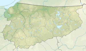
Wadąg , until 1949 Wadangsee , is a channel lake of 494 hectares in the Warmian-Masurian Voivodeship . It is located six kilometers northwest of the city of Olsztyn .
Web links
- District community Allenstein e. V.
- Wadangsee at wiki-de.genealogy.net
- Manor Wadang Lake at gov.genealogy.net
- Wadang Lake (Wadang).
- Wadąg Jezioro. (Polish)
