Weaver Mountains
| Weaver Mountains | ||
|---|---|---|
|
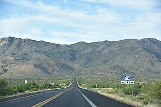
Weaver Mountains as viewed from the south on State Route 89 |
||
| Highest peak | Weaver Peak ( 2004 m ) | |
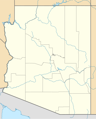
| location | Yavapai County , Arizona , United States | |
|
|
||
| Coordinates | 34 ° 20 ′ N , 112 ° 49 ′ W | |
The Weaver Mountains are a small group of mountains southwest of the Bradshaw Mountains in Yavapai County in western central Arizona , United States . The village of Yarnell on Yarnell Hill on Arizona State Route 89 is in the center of the mountains.
description
The mountains run from northwest to southeast, but at the east end more to the east. The northeast, east, and southeast are separated from the Bradshaw Mountains by the Hassayampa River . The highest mountain is the 2004 m high Weaver Peak about 12 km northwest of Yarnell. In the west and south-west, the Weaver Mountains are separated by a valley from a smaller mountain range in the south-west, the Date Creek Mountains . Among other things, there is gold in the mountains.
Web links
- Weaver Mountains in the United States Geological Survey's Geographic Names Information System
- Weaver Mountains region website
- Weaver Mountains at peakbagger.com
Individual evidence
- ↑ Arizona Mountain Ranges Highpoints List, 204 peaks, Revised September 18, 2012. , peakbagging.com, accessed July 23, 2019 (English)

