York (Sierra Leone)
| York | ||
|---|---|---|
| Landsat image of Sherbro Island with the smaller York Island to the east | ||
| Waters | Atlantic Ocean | |
| Geographical location | 7 ° 32 ′ N , 12 ° 28 ′ W | |
|
|
||
| main place | York | |
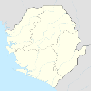
York is an island that belongs to the West African state of Sierra Leone . It is located west of mainland Africa, two kilometers east of Sherbro Island and is part of the Bonthe district . The main town on the island is the small fishing village of York.
In the 17th century the Royal African Company built a slave trade fort on the island .
population
The island's population has steadily declined in recent years. One reason for the exodus is the Marine Protected Area (MPA) on the river Sherbro that led to the traditional way of life of the population, on the fishing with canoes rested, the foundation has been withdrawn.
Individual evidence
- Jump up ↑ York Island, Sierra Leone - Geographical Names, map, geographic coordinates. Retrieved February 8, 2018 .
- ↑ Google Maps. Retrieved February 8, 2018 .
- ↑ Nigel Tattersfield: The Forgotten Trade: Comprising the Log of the 'Daniel and Henry' of 1700 and Accounts of the Slave Trade From the Minor Ports of England 1698-1725 (1778) , Random House, London 2011, pp 309-19 , ISBN 9781446475676 .
- ^ York Island: A forgotten history. Retrieved February 8, 2018 .

