Abelvattnet
| Abelvattnet | ||
|---|---|---|

|
||
| View over the Abelvattnet from the west before the construction of the dam (1967) | ||
| Geographical location | Storumans kommun, Västerbotten County, Sweden | |
| Drain | Ume älv | |
| Places on the shore | Storuman, Tärnaby | |
| Data | ||
| Coordinates | 65 ° 32 ' N , 14 ° 50' E | |
|
|
||
| Altitude above sea level | 663.2 m above sea level | |
| scope | 68.6 km | |
| Maximum depth | 61.3 m | |
| Middle deep | 19.1 m | |
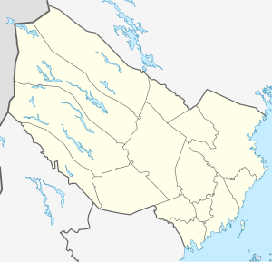
The Abelvattnet is a lake in the northern Swedish province of Västerbotten . The lake has an area of 32.6 km² and is located around 22 km south-southwest of Tärnaby in the municipality of Storuman . The lake, which is fed by the Arevattnet and the Ropen, drains via the Gejmån to Stor-Björkvattnet .
power plant
The lake was dammed from 1961 by a 600 meter long and 18 meter high dam. Since then, the water level in the pond has varied between 652 and 668 meters above sea level. In 2010 a hydropower plant was completed that uses the existing dam. The plant has a 4.6 MW Kaplan turbine with an average annual electricity generation of 14.7 GWh.
Individual evidence
- ↑ Google Earth
- ↑ Kartsök and place name. Retrieved July 4, 2017 (Swedish).
