Aeródromo de Alcazarén
| Aeródromo de Alcazarén | ||
|---|---|---|
|
|
||
| Characteristics | ||
| Coordinates | ||
| Height above MSL | 650 m (2133 ft ) | |
| Transport links | ||
| Distance from the city center | 2 km west of Alcazarén | |
| Street | N-601 | |
| Basic data | ||
| opening | 1987 | |
| Runways | ||
| 07/25 | 400 m × 20 m asphalt | |
| H07 / 25 | concrete | |
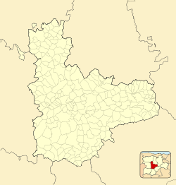
The Aeródromo de Alcazarén is an airfield in the Spanish municipality of Alcazarén in the province of Valladolid in the autonomous region of Castile and León .
history
The airfield, which opened in 1987, was first operated as a special airfield by the Club Deportivo de Vuelo Alcazarén for ultralight aircraft and expanded in 2000 to include a concrete helipad. In addition, it also received an asphalt runway.
Since the year 2000 the helicopter company Grupo CoyotAir SA settled at the place. CoyotAir specializes in passenger transport, forest fire fighting, rescue flights, cargo transport as well as film and photo flights.
use
The newly built hangar with around 1000 m² of floor space and 800 m² of concreted apron is used to maintain and accommodate the eleven Eurocopter AS 350 helicopters, which have been used by the Junta de Castilla y León for fire and disaster protection (Helicópteros del 112) since 2000 CoyotAir SA.
Individual evidence
- ↑ Ayuntamiento de Alcazarén with photo
- ↑ Grupo CoyotAir SA Aeródromo de Alcazarén ( Memento of September 4, 2014 in the Internet Archive )
