El Capitan (Arizona)
| El Capitan | ||
|---|---|---|
|
El Capitan or Agathla Peak |
||
| height | 2164 m | |
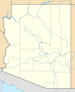
| location | Navajo County , Arizona , USA | |
| Coordinates | 36 ° 49 '36 " N , 110 ° 13' 30" W | |
|
|
||
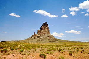
El Capitan or Agathla Peak , also known as Aghaa'lá , is a steep volcanic pinnacle with a height of 2164 m as part of the Navajo Volcanic Field . The mountain rises 370 meters from the surrounding plain, eight miles north of the city of Kayenta , Arizona , USA , along US Highway 163 , not far from Monument Valley .
Agathla Peak is a so-called volcanic cone, a volcanic ruin - the remainder of a huge volcano , which is largely eroded . The solidified chimney filling of the volcano is visible. Agathla Peak is of ceremonial importance for the Navajo Indians and is called in their language "the place where the animals hide".


