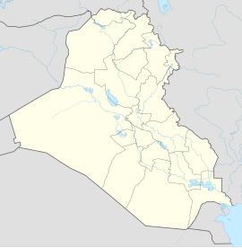
al-Habbaniyah
| Al-Habbaniyya | ||
|---|---|---|
| location | ||
|
|
||
| Coordinates | 33 ° 23 ' N , 43 ° 35' E | |
| Country |
|
|
| Governorate | al-Anbar | |
| District | al-Fallujah | |
| Basic data | ||
Al-Habbaniyya ( Arabic الحبانية, DMG al-Ḥabbānīya ) is a place in Iraq .
The place is in the Iraqi governorate al-Anbar . Al-Habbaniyya is located on the right bank of the Euphrates about 80 km west of Baghdad and halfway between Fallujah and Ramadi .
The place emerged from the Royal Air Force base RAF Dhibban , built from 1934 to 1937 , later called RAF Habbaniya and operated by the United Kingdom Air Force until May 31, 1959 . The extensive base and its airport have been an important center of the British presence in the Middle East.
The nearby al-Habbaniyya Lake was not only used for leisure activities of the staff. From the late 1930s he served as a landing area for the flying boats of Imperial Airways on its flights to India.
In 1941, as part of the military coup, there was short but fierce fighting over RAF Habbaniya , which was attacked by Iraqi forces supported by aircraft from the German Air Force's special staff F from Mosul .
After the 2200 m long runway was no longer sufficient for the larger aircraft, another base with a 4000 m and 3650 m long runway was built on the neighboring plateau in 1952, which became known as Al Taqaddum Airbase or Camp Taqaddum ( IATA airport code : TQD, ICAO code : ORAT).
Al-Habbaniyya Airport has been used by Iraqi armed forces since 1959.
Individual evidence
- ↑ a b c History of Camp Habbaniyah on the website of the 506 Infantry Regiment Currahee
- ^ Nazis on Baghdad - A short report by Spiegel
