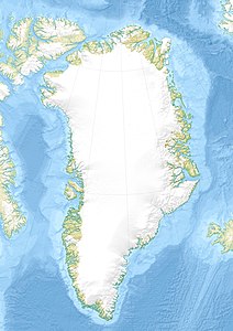
Anarusuk
| Anarusuk | ||
|---|---|---|
| Waters | Tasiusaq Bay , Baffin Bay , Atlantic Ocean | |
| Archipelago | Upernavik archipelago | |
| Geographical location | 73 ° 28 ′ N , 55 ° 38 ′ W | |
|
|
||
| length | 16.4 km | |
| width | 14.2 km | |
| surface | 75 km² | |
| Highest elevation | 342 m | |
| Residents | uninhabited | |
Anarusuk is an uninhabited island in the Upernavik district of Avannaata Kommunia , Greenland .
geography
Anarusuk is located in Tasiusaq Bay in the central-northern part of the Upernavik Archipelago . The island is separated from the island of Nuuluk by the Ikerasaarsuk in the northwest . It is also separated from the island of Aappilattoq in the west by a road of the same name , and also separated from the island of Aakkarnersuaq and Qoqaarissorsuaq in the south by the waterways of the bay in the southeast .
Capes of the island
| Surname | place | Latitude (N) | Longitude (W) |
|---|---|---|---|
| Naajakassaat | Northern Cape | 73 ° 31'30 ″ | 55 ° 49'30 ″ |
| Aappilattuinnakassak | Southern Cape | 73 ° 22'40 ″ | 55 ° 34'50 ″ |
| Tulukkat | Northwest Cape | 73 ° 30'17 ″ | 55 ° 53'45 " |
