Angisunnguaq
| Angisunnguaq | ||
|---|---|---|
| Waters | Ameralik | |
| Geographical location | 64 ° 3 '44 " N , 51 ° 47' 2" W | |
|
|
||
| surface | 11.2 km² | |
| Highest elevation | 106 m | |
| Residents | uninhabited | |
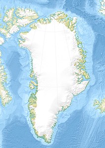
Angisunnguaq (according to the old spelling Angissúnguaĸ ) is an uninhabited island in the Nuuk district in the Sermersooq commune in Greenland . It is located at the exit of the Ameralik fjord , about 14 km south of the capital Nuuk .
geography
Angisunnguaq extends 4.8 km from north to south and 4 km from west to east. In the north there is an unnamed fjord only about 650 m short, on the eastern bank of which there is a shipwreck. Furthermore, Cape Sarsuatsiivik is located on the northern bank of the island , Cape Niaqornannguaq on the northeastern bank and Angisunnguup Sarsuatsiivia in the extreme south . To the south, the Angisunnguup Kangerlua fjord cuts the island.
Planned new airport building
It was considered to build an international airport on the island. This should replace the previous regional airport in Nuuk . In addition, a port was to be built next to the airport . A connection to Nuuk should have been established through an underwater tunnel . In 2018, however, it was decided that the previous airport should be expanded and that no structures should be erected on Angisunnguaq for the time being.
Individual evidence
- ↑ Names of the geographical features of Greenland provided by Oqaasileriffik
- ↑ Information sheet on the development of Angisunnguaq at tenu.gl (.pdf; 2.3 MB)
- ↑ Debattør kæmper for sydlig lufthavn i Nuuk in Sermitsiaq
- ↑ Nuuk at kair.gl
- ↑ Lufthavnspakken he vedtaget at Knr.gl
