Arthur Laing Bridge
Coordinates: 49 ° 11'56 " N , 123 ° 8'9" W.
| Arthur Laing Bridge | ||
|---|---|---|
| Arthur Laing Bridge | ||
| use | Highway bridge | |
| Crossing of | Fraser River | |
| place | Vancouver , Sea Island | |
| construction | Haunched cantilever truss bridge | |
| overall length | 1,676 m | |
| width | 20 m | |
| Longest span | 270 m | |
| building-costs | CAD 23 million | |
| completion | August 1975 | |
| opening | May 15, 1976 | |
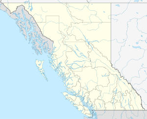
| location | ||
|
|
||
The Arthur Laing Bridge is a four-lane bridge in the Canadian province of British Columbia . It bridges the Fraser River and connects Vancouver with Sea Island in the Richmond community , where Vancouver International Airport is located.
The bridge that exists today is in the same place as its predecessor, the Marpole Bridge, but is higher and longer. The Marpole Bridge was built in 1889 and replaced by a new building twelve years later. After the opening of the Oak Street Bridge further east , which leads directly to the main island of Richmonds - Lulu Island - the Marpole Bridge was demolished. The airport could only be reached by a detour. As the airport grew, traffic on the Oak Street Bridge increased significantly, necessitating the construction of a new bridge.
On September 6, 1974, Prime Minister Pierre Trudeau announced that the new bridge would be named after Vancouver MP Arthur Laing . The bridge was opened to traffic in August 1975, but it was not officially opened until May 15, 1976.

