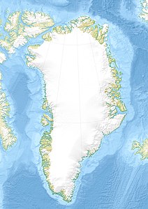
Ateqanngitsorsuaq
| Ateqanngitsorsuaq | ||
|---|---|---|
| Waters | Tasiusaq Bay , Baffin Bay , Atlantic Ocean | |
| Archipelago | Upernavik archipelago | |
| Geographical location | 73 ° 14 ′ N , 55 ° 52 ′ W | |
|
|
||
| Highest elevation | 516 m | |
Ateqanngitsorsuaq (according to the old spelling Ateĸángitsorssuaĸ , German the big one that has no name ) is an uninhabited island in the Upernavik district in the Avannaata Kommunia , Greenland .
The island belongs to the Upernavik archipelago .
geography
Ateqanngitsorsuaq is located on the outer edge of Tasiusaq Bay in the south-central part of the Upernavik archipelago . In the south, the island is separated from Innaarsuit by a narrow waterway . To the northeast, Ateqanngitsorsuaq is separated by the waterways of Qoqaarissorsuaq Bay . The highest point is an unnamed peak at 516 meters in the central part of the island.
Individual evidence
- ^ Upernavik , Saga Map, Tage Schjøtt, 1992
