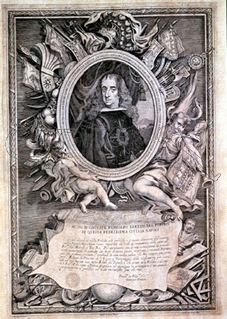
Atlas of the Marquis of Heliche
The Atlas of the Marquis of Heliche is an important collection of 133 plans and views from the Spain of the 17th century . It was first published in book form in 2004 and digitally in 2008.
Around 1650 the Spaniard Gaspar de Haro y Guzmán , Marquis of Heliche commissioned the Italian painter Leonardo de Ferrari with the creation of maps, plans and views of settlements, fortresses and ports on the borders and coasts in the Kingdom of Spain. In 1655, the 133 drawings produced up to that point were handed over to the client in bound form, probably less than originally intended. The work was given the title Plantas de diferentes Plazas de España, Italia, Flandes y Las Indias (floor plans of various locations in Spain, Italy, Flanders and the West Indies ). Gaspar de Haro never intended publication. In accordance with the politics of his era, he kept the valuable cartographic information secret and the work remained a single copy. The Marquis died on November 16, 1687. Around January 1690, the Swede Johan Gabriel Sparwenfeld acquired the atlas in Madrid at the auction of the estate and brought it to Stockholm. Around 1704 he donated his acquisitions from Spain to the National Library of Sweden . In the 19th century, the atlas was transferred to the newly established Swedish military archive (El Krigsarkivet). It was rediscovered there in 2001 and first published as a book in 2004. In mid-2008 the publishing house 4 Gatos made a digital edition available for download free of charge.
literature
- Leonardo de Ferrari, el al .: Imágenes de un Imperio Perdido: El Atlas del Marqués de Heliche: Plantas de diferentes Plazas de España, Italia, Flandes y Las Indias . Ed .: Presidencia de la Junta de Extremadura. 4 Gatos, 2004, ISBN 84-689-0441-4 ( Imágenes de un Imperio Perdido. El Atlas del Marqués de Heliche [accessed October 12, 2008]).

