Bechyně Bridge
Coordinates: 49 ° 17 ′ 47 " N , 14 ° 28 ′ 51" E
| Bechyně Bridge | ||
|---|---|---|
| Bechyňský most | ||
| Official name | Bechyňský most | |
| use | Railway / road bridge | |
| Convicted |
Tábor – Bechyně railway line No. 122 Týn nad Vltavou – Bechyně – Opařany |
|
| Subjugated | Lužnice | |
| place | Bechyně | |
| construction | Reinforced concrete arch | |
| overall length | 203.28 m | |
| Longest span | 90 m | |
| height | 50 m | |
| start of building | 1926 | |
| completion | 1928 | |
| opening | October 28, 1928 | |
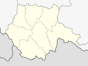
| location | ||
|
|
||
The bridge of Bechyně (tschech. Bechyňský most ) is a combined railway and road bridge over the valley of Lužnice ( Lainsitz ) at Bechyně . It was built between 1926 and 1928 as part of the extension of the Tábor – Bechyně railway line . It is popularly known as the Bechyňská duha (Bechyň rainbow).
The Bechyně Bridge has had the status of a National Cultural Monument of the Czech Republic since 2014 .
Individual evidence
- ↑ silniční most Duha, č. 122-008 ÚSKP 27391 / 3-4715 in the monument catalog pamatkovykatalog.cz (Czech).
Web links
Commons : Bechyně Bridge - collection of images, videos and audio files

