Bhrigupanth
| Bhrigupanth | ||
|---|---|---|
|
Bhrigupanth on the left, Thalay Sagar on the right, seen from the Kedartal glacial lake |
||
| height | 6772 m | |
| location | Uttarakhand ( India ) | |
| Mountains | Gangotri Group ( Garhwal Himalaya ) | |
| Dominance | 2.38 km → Thalay Sagar | |
| Notch height | 740 m | |
| Coordinates | 30 ° 52 '49 " N , 79 ° 0' 10" E | |
|
|
||
| First ascent | 1980 by a US-New Zealand. Women's expedition | |
|
Shivling on the left, in the center of the picture in the background the Bhrigupanth |
||
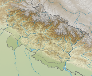
The Bhrigupanth is a 6772 m high mountain in the Garhwal Himalayas in the Indian state of Uttarakhand .
The Bhrigupanth is located in the western part of the Gangotri group in the immediate vicinity of the 6904 m high Thalay Sagar to the south and the 6,660 m high Meru to the east . To the north of the Bhrigupanth rises the triple-peaked mountain group Manda . At the foot of the northwest flank lies the Kedartal glacier lake .
In 1980 a US-New Zealand women's expedition led by Arlene Blum made the first ascent. The ascent route led from the west over the saddle between Bhrigupanth and Thalay Sagar to the summit.


