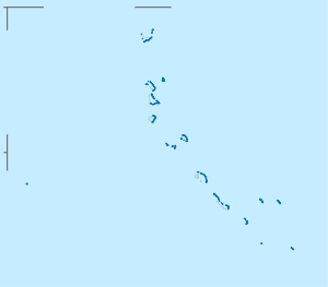
Bikati
| Bikati | ||
|---|---|---|
| Waters | Pacific Ocean | |
| Archipelago | Butaritari | |
| Geographical location | 3 ° 16 ′ N , 172 ° 41 ′ E | |
|
|
||
| Residents | 225 (2010) | |
Bikati (also: Bikaati ) is a Motu of Butaritari - atoll of the Pacific island republic of Kiribati .
geography
Bikati is an inhabited island and the northernmost island in the Butaritari Atoll. The smaller Bikatieta (O) is located in its immediate vicinity .
The place of the same name is located in the south of the island. It extends about 2 km from north to south and forms a very long, pointed triangle to the north. To the north the reef extends even further ( North Shoal ), to the south the reef crown divides and runs due south on the one hand, and south-south-east on the other. The closest islands are Teirio in the south and Ubantakoto in the far east. Between Bikati and Ubantakoto is the long uninterrupted reef fringes Closed Northern Reef Awash .
