
Illustration of the road signs in Iceland
The picture table of the traffic signs in Iceland shows the officially introduced and currently valid traffic signs in Iceland . In terms of shape and design, the majority of the traffic signs are based on the guidelines and templates of the Vienna Convention on Road Traffic Signs , although the Icelandic Convention has not yet been signed. For reasons of comprehensibility, the traffic signs mainly consist of well-known pictograms . Some characters also have terms in Icelandic.
The list is based on Regulation No. 289/1995, namely Reglugerð um umferðarmerki og notkun þeirra . It was supplemented by further ordinances from 1998 to 2009. The traffic sign catalog is divided into the categories listed below.
Hazard signs (category A)
 A01.11
curve (right)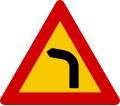 A01.12
curve (left) A01.21
double curve
(initially on the right) A01.22
double curve
(initially left)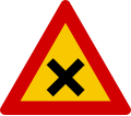 A05.11
Crossing or junction with right of way from the right A06.11 Give
way A07.11
Junction with a street without priority A07.21 Junction of
a street without priority (diagonally right)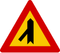 A07.22 Junction of
a street without priority (diagonally left)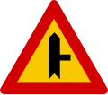 A07.31 Junction of
a street without priority (right)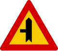 A07.32 Junction of
a street without priority (left) A10.11
roundabout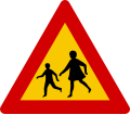 A11.11
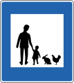
children A11.21
pedestrians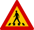 A11.22
pedestrian crossing A11.31
tab A11.36
cattle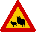 A11.37
sheep A11.38
Reindeer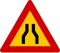 A14.11
Narrow roadway A14.21
on one side (right)
narrowed roadway A14.22
on one side (left)
narrowed roadway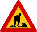 A17.11
Construction site A17.21
graders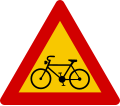 A11.41
cyclists A18.xx
gradient 10% A19.xx
slope 10%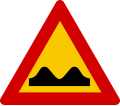 A20.11
Uneven road surface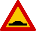 A20.21
Brake threshold A21.11
Rockfall or avalanche (right)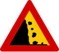 A21.12
Rockfall or avalanche (left) A22.11
gravel A23.11
traffic light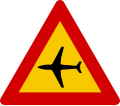 A24.11
Flight operations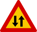 A25.11 Two
- way traffic A26.11
tunnel A27.11 Risk of
skidding A28.11
curb A29.11
Bad edge of the road A32.11
crosswind A33.11
bank A99.11
Hazardous area


Prohibition sign (Category B)
 B01.11
Prohibition for vehicles of all kinds B01.21 No
entry B03.11
Prohibition on motor vehicles B03.21
Ban on motor vehicles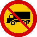 B03.31
Prohibition for vehicles over 3.5 tons B03.32
Ban on buses B03.35
Prohibition for vehicles with cargo that is hazardous to water B03.36
Prohibition of motor vehicles with dangerous goods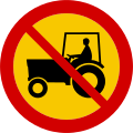 B03.41
Ban on agricultural machinery and off-road vehicles B03.51
Prohibition on motorcycles B03.61
Ban on snowmobiles B03.71
Prohibition on mopeds B05.11
Ban on bicycles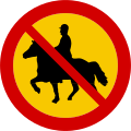 B05.21
Prohibition for riders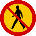 B05.31
Prohibition for pedestrians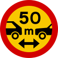 B12.xx
Prohibition of falling below the specified minimum distance B13.xx
Prohibition for vehicles over the specified actual width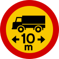 B14.xx
Prohibition for vehicles over the specified actual length B15.xx
Prohibition for vehicles above the specified actual height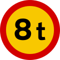 B16.xx
Prohibition for vehicles over the stated actual mass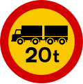 B17.xx
Prohibition for trucks over 20 tons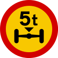 B18.xx
Prohibition for vehicles over the specified actual axle load B19.11
Stop B19.21
customs office B21.11
Restricted no stopping B22.11
Restricted stopping prohibition with time restriction B22.21
End of a restricted parking ban for a zone B24.11
Absolute no- stopping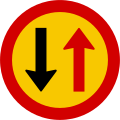 B25.11
Priority of oncoming traffic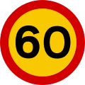 B26.60 Maximum permitted
speed B27.60
End of the permitted maximum speed B28.30
Start of a
30 km / h zone B29.30
End of a
30 km / h zone B30.11
Prohibition of turning right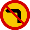 B30.12
Prohibition of turning left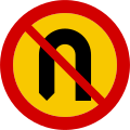 B30.21 No
turning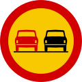 B33.11 No
overtaking for vehicles of any kind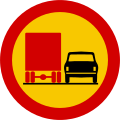 B33.21 No
overtaking for vehicles over 3.5 tons B33.31
End of the overtaking ban for all types of vehicles B33.41
End of the ban on overtaking for vehicles over 3.5 tons B34.11
End of all route-related speed
restrictions and overtaking bans


Mandatory sign (Category C)
 C01.11
Prescribed direction of travel - here on the right C01.12
Prescribed direction of travel - here on the left C01.13
Prescribed driving direction - straight ahead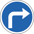 C01.21
Prescribed direction of travel - right C01.22
Prescribed driving direction - left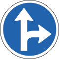 C01.31
Prescribed driving direction - straight ahead and right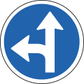 C01.32
Prescribed driving direction - straight ahead and right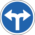 C01.41
Prescribed direction of travel - left and right C09.11
Prescribed driving direction - pass right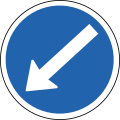 C09.12
Prescribed direction of travel - pass right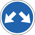 C09.21
Prescribed driving direction - left and right past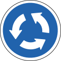 C12.11
roundabout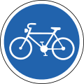 C13.11
cycle path C14.11
sidewalk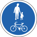 C15.11
Common footpath and cycle path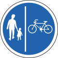 C15.21
Separate footpath and cycle path (pedestrians on the left) C15.22
Separate footpath and cycle path (pedestrian on the right) C16.11
bridle path


Information sign (Category D)
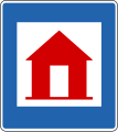
 D01.11
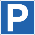
Parking D01.12
Parking garage D01.21
Parking for the disabled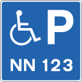 D01.22
parking space for the disabled (with registration)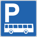 D01.31
Parking for buses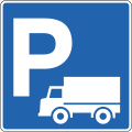 D01.32
Parking lot for vehicles over 3.5 tons D01.33
Parking for vehicles under 3.5 tons D01.34
Parking area for electric vehicles while charging D01.37
Parking lot for emergency vehicles D01.41
Parking for bicycles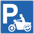 D01.42
Parking for motorcycles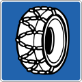 D01.61
snow chains mandatory D02.11
pedestrian crossing D03.11
priority road D03.21
End of the priority road D05.11
Priority over oncoming traffic D06.11 passing point
(on narrow streets)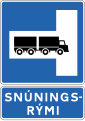 D06.52 Possibility to turn
trucks (left)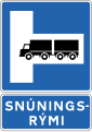 D06.51 Possibility to turn
trucks (right) D07.13
one-way street D07.11
one-way street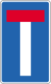 D08.11
dead end D09.11
taxi stand D09.21
bus stop D09.22
bus station D11.11
Access for the disabled D12.11
Beginning of a built-up area D12.21
End of a built-up area D14.11
Start of a traffic-calmed area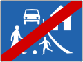 D14.21
End of a restricted traffic area D16.11
pedestrian underpass (right) D16.12
pedestrian underpass (left) D16.21
pedestrian overpass (right)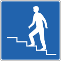 D16.22
pedestrian overpass (left) D18.11
input D18.22
output D20.11 Maximum permitted
speeds D24.11
toll D28.11
Speed control


Note signs (category E)

First aid

hospital

Police station
pharmacy
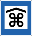
Emergency Refuge

Emergency phone

Fire extinguisher

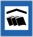
Tourist information (information signs)
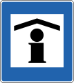
Tourist information (information office)

Public telephone

Toilet

Dixitoilette

Waste water point for camping cars

City center

industrial area

Covered sight

Sightseeing
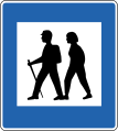
Start of the hiking trail

Resting place

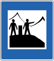
Lookout point
Lookout point with information signs

Garbage can

Waste container
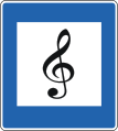
Recommended radio stations
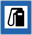
Gas station

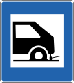
Workshop
Tire repair shop
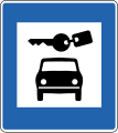
Rental car office

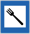
cafeteria
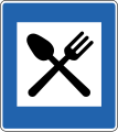
restaurant
Snacks by private individuals
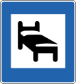
hotel

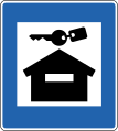
Sleeping bag accommodation

youth hostel
Holiday home rental

Hut for shelter

Campsite / tent site
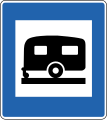
Campsite for caravans
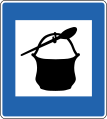
Cooking equipment

shower
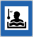
Hot pot; heated outdoor bath; Thermal spring

Washing machine

Conference / meeting facilities

Internet

swimming pool

Fitness center; Sports facility

exposed sports facility

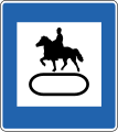
Horse rental


Horse trailer rental
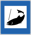
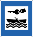
Fishing license office
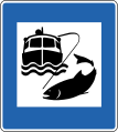
Deep sea fishing
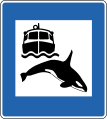
Whale watching tours

Ski lift
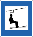
Chair lift
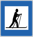
Cross-country skiing area
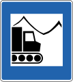
Snow groomer tours
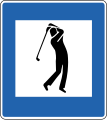
Golf course

hunt

Snowmobile rental

Water scooter rental

Bike rental
Boat rental

Water-skiing
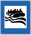
White water rafting; River rafting

church

graveyard
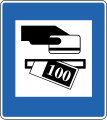
ATM

Bank
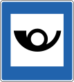
mail department

Supermarket

bakery

kiosk
Craftsmanship

Glasshouse

Libra

Art gallery
Library

Aquarium
Pet park

Dog hotel

vet

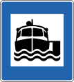
car ferry
Boat tours

Boat loading point

Airport
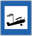
Makeshift landing pad


Signpost (Category F)

Direction of travel with street number

Winter road

Junction (within the capital)

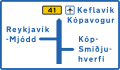
Junction (outside the capital)

Junction to a sight, airport, port, public building or other service point
Announcement of upcoming destination

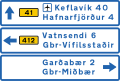
Exit marker (within the capital)

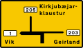
Exit marker (outside the capital)
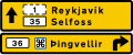
Forward destinations with distances in kilometers and street numbers (within the capital)
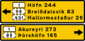
Future destinations with distances in kilometers and street numbers (outside the capital)

Main traffic connections
Destinations ahead as a road map (within the capital)
Destinations ahead as a road map (outside the capital)

Destinations ahead with lane information and street numbers (within the capital)
Forward destinations with street numbers (outside the capital)

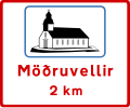
Direction signs for specified place / place

Place name / name of the place

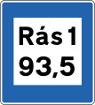
Street name

House numbers

Street number

Street number of the approaching street

Street without street number
Detached farm

District / municipal border sign (large sign)

District / municipal border sign (small sign)
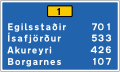
Forward destinations with distances in kilometers and street numbers (within the capital)
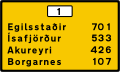
Future destinations with distances in kilometers and street numbers (outside the capital)

Information sign for orientation

Information on various bike tours

Information about a specific bike tour


Traffic control panel (category G)

Left lane ends, please let us know

Right lane ends, please let us know

Merge access road with the right lane

Left-turn lane on the left

Right lane branches off
Right lane for taxis only

Vehicles over 3.5 tons must use the right lane

Merge access road with the right lane

Straight

Right-turning lane

Possibility to turn left or continue straight ahead
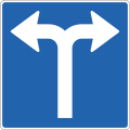
Turn left or right

Possibility to turn left or right or continue straight ahead


Temporary characters (Category H)
 H01.11
diversion sketch

Additional characters (category J)

Distance to danger point or prevention

Danger point or prevention on the left

Danger point or prevention on the right

Danger point or prevention on both sides

Distance and length of the dangerous place / prevention

Perimeter of the danger zone to the left

Perimeter of the danger zone to the right

Scope of the danger zone to the left and right

Period of the danger zone

Parking time max. 30 minutes

Parking spaces parallel to the street

Parking spaces at right angles to the street

Parking spaces at an angle to the street
Distance to the dangerous place / prevention

Disabled parking spaces
Turn right here

Turn right shortly

Turn left shortly

Straight

Turn left here

Right-turning priority road; Access roads must give way

Left-turning priority road; The access road must give way

Right of way road turning half right; The access road must give way

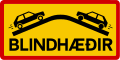
Attention, blind people

Attention, deaf people

Maximum weight allowed

Vehicles parked incorrectly are towed away
New road surface; loose gravel

River crossing (no bridge); only to be crossed with four-wheel drive
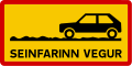
Drive slowly! Signals the start of a road that is passable with a good car but requires slow driving.
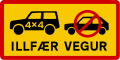
Difficult road! Only vehicles with a lot of axle clearance (e.g. jeeps) that are higher up than normal vehicles and have all-wheel drive!

Extremely difficult to drive on road! Only accessible with special off-road vehicles.

Confusing hilltop (oncoming traffic not visible)
Confusing hilltop (oncoming traffic not visible)

Accident road

Narrow street, watch out for oncoming traffic

Beginning of a gravel road, possibly sharp road edge at the transition!

Single-lane bridge, watch out for oncoming traffic

Single-lane tunnel, watch out for oncoming traffic

Stop sign in 200 meters
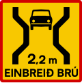
Single-lane bridge, maximum vehicle width 2.2 meters

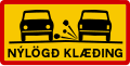
Attention, organized street run


Web links
- Reglugerð um umferðarmerki og notkun þeirra (Regulation No. 289/1995), accessed on September 28, 2013 (Icelandic)
Individual evidence
Albania | Belgium | Bulgaria | Denmark | Germany ( since 2017 ) | Estonia | Finland | France | Greece | Ireland | Iceland | Italy | Croatia | Latvia | Liechtenstein ( since 2016 ) | Lithuania | Luxembourg | Malta | Moldova | Netherlands | Norway | Austria | Poland | Portugal | Romania | Russia | Sweden | Switzerland ( since 2016 ) | Serbia | Slovakia | Slovenia | Spain | Czech Republic | Ukraine | Hungary | United Kingdom | Belarus | Cyprus