Biogradsko jezero
|
Biogradsko jezero Lake Biogradska |
||
|---|---|---|

|
||
| Jetty at Biogradsko jezero | ||
| Geographical location | Biogradska Gora , Montenegro | |
| Tributaries | Biogradska rijeka | |
| Drain | Jezerstica | |
| Location close to the shore | Kolašin | |
| Data | ||
| Coordinates | 42 ° 54 ′ 0 ″ N , 19 ° 36 ′ 0 ″ E | |
|
|
||
| Altitude above sea level | 1094 m | |
| surface | 22.8 ha | |
| length | 870 m | |
| width | 261 m | |
| Maximum depth | 12 m | |
| Middle deep | 4.5 m | |
|
particularities |
largest lake in the Biogradska Gora National Park |
|
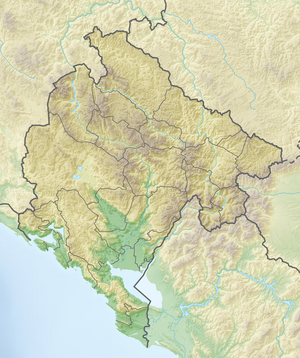
The Biogradsko jezero is a glacial edge lake in the area of the municipality of Kolašin in Montenegro . The lake is located in the mountainous Bjelasica region within the Biogradska Gora National Park .
The Biogradsko jezero lies at an altitude of 1,094 m at the end of the main access road into the Biogradska Gora National Park. It is 870 m long, up to 261 m wide and covers an area of up to 228,500 m². The mean depth is about 4.5 m, the maximum depth up to 12.1 m. The water level fluctuates by several meters over the course of the year. The main inlet is the Biogradska rijeka and some mountain streams that only appear when the snow melts. The lake drains over the Jezerstica into the Tara .
