Borrisokane
Coordinates: 52 ° 59 ′ N , 8 ° 8 ′ W
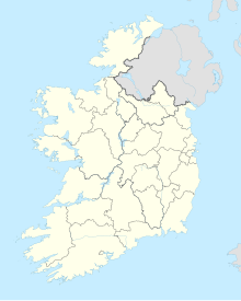
Borrisokane ( Irish : Buiríos Uí Chéin ) is a place in the north of County Tipperary in the Republic of Ireland .
The place had about 1,145 inhabitants in 2006. It is on the N52 national road between Nenagh and Birr , just south of the junction of the N65 to Portumna . Borrisokane is only 12 km from Lough Derg .
Prominent citizens
- James McGolrick (1841-1918), Roman Catholic bishop
- Frank Corcoran (* 1944), composer
Web links
- Official site (English)
Individual evidence
- ↑ Map of Ireland (can be enlarged greatly) ( Memento of the original from February 21, 2015 in the Internet Archive ) Info: The archive link has been inserted automatically and has not yet been checked. Please check the original and archive link according to the instructions and then remove this notice.
