Buffalo Lake (Northwest Territories)
| Buffalo Lake | ||
|---|---|---|

|
||
| Map of the lake | ||
| Geographical location | Northwest Territories (Canada) | |
| Tributaries | Buffalo River , Whitesand River , Yates River | |
| Drain | Buffalo River | |
| Location close to the shore | Hay River | |
| Data | ||
| Coordinates | 60 ° 13 ′ N , 115 ° 30 ′ W | |
|
|
||
| Altitude above sea level | 265 m | |
| surface | 612 km² | |
| length | 48 km | |
| width | 18 km | |
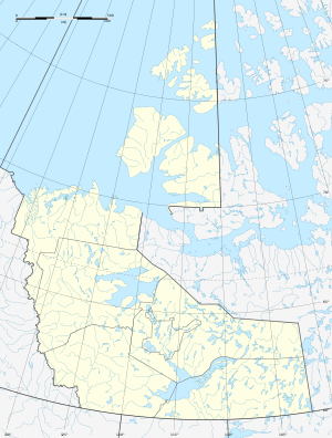
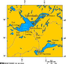
Buffalo Lake ( English for "Buffalo Lake") is a lake in the Northwest Territories of Canada .
It lies 50 km south of the Great Slave nearby town Hay River . The lake lies at an altitude of 265 m and has an area of 612 km². The lake is drained by the Buffalo River in a northerly direction towards the Great Slave Lake. The eastern part of the lake is located in Wood Buffalo National Park .
Individual evidence
- ↑ a b Lakes. ( Memento of October 6, 2012 in the Internet Archive ) Natural Resources Canada - The Atlas of Canada

