Bunker Group
| Bunker Group | ||
|---|---|---|
| Waters | Coral sea | |
| Geographical location | 23 ° 52 ′ S , 152 ° 22 ′ E | |
|
|
||
| Number of islands | 5 | |
| Main island | Lady Musgrave Island | |
| Total land area | 0.94 km² | |
| Residents | uninhabited | |
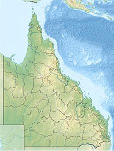
The Bunker Group is the southernmost archipelago of the Great Barrier Reef off the Coral Sea coast of Queensland , Australia . Further south there is only Lady Elliott Island, the southernmost island of the Great Barrier Reef, 83 kilometers south of the Bunker Group. In the north and northwest are the reefs and islands of the Capricorn Group .
There are 4 coral reefs with a total of five cays (small and shallow coral islands). The islands vary in size, ranging from 4 hectares (East Hoskyn Island) to 37.5 hectares (East Fairfax Island). The total area of all islands is 94 hectares.
The main island, and the second largest island in terms of area after East Fairfax Island, is Lady Musgrave Island , which has a lighthouse .
The reefs and islands are part of the Capricornia Cays National Park .
The name of the archipelago goes back to Captain Eber Bunker , who visited the islands in 1803.
Reefs and islands
![]() Map with all coordinates: OSM | WikiMap
Map with all coordinates: OSM | WikiMap
|
literature
- JS Jell, PG Flood: Guide to the Geology of Reefs of the Capricorn and Bunker Groups, Great Barrier Reef Province. (= Papers, Department of Geology, University of Queensland, Volume 8, Number 3, April 1978)
