Charleston Peak
| Charleston Peak | ||
|---|---|---|
|
Charleston Peak |
||
| height | 3632 m | |
| location | Nevada , USA | |
| Mountains | Spring Mountains | |
| Coordinates | 36 ° 16 '18 " N , 115 ° 41' 44" W | |
|
|
||
| Normal way | Hike | |
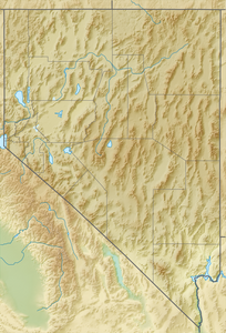
The Charleston Peak (wrongly also Mount Charleston ) is the fourth highest mountain in the US state Nevada with 3632 m . It is located in the Spring Mountains and is the highest point there. Charleston Peak is also the highest point in Clark County. Since the Spring Mountains are only about 50 km northwest of Las Vegas, the mountains serve as a cool recreational area, especially in summer. In winter, the Spring Mountains offer, partially limited, winter sports opportunities. The official name of the summit is Charleston Peak. It is also called Mount Charleston. Curiously, there is also a small place called Mount Charleston at the foot of Charleston Peak.
Charleston Peak can be climbed without any technical difficulties. The village of Mount Charleston is located at an altitude of 2350 m and can be used as a starting point for a tour to Charleston Peak. There are two routes leading to the summit. The 11 km long South Loop has been closed since a bush fire in 2013 (as of 2016). The North Loop Trail is eight miles long and begins on the northeastern outskirts of Mount Charleston.

