Chaudhara
| Chaudhara | ||
|---|---|---|
| height | 6510 m | |
| location | Uttarakhand ( India ) | |
| Mountains | Kumaon Himalayas | |
| Dominance | 3.2 km → Rajrambha | |
| Coordinates | 30 ° 16 ′ 54 " N , 80 ° 22 ′ 30" E | |
|
|
||
| First ascent | 1973 | |
The Chaudhara is a 6510 m high mountain in the Kumaon Himalayas in the Indian state of Uttarakhand .
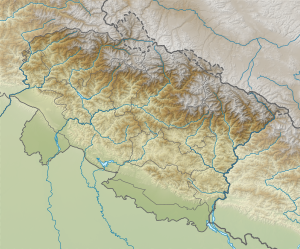
The mountain is located in the Pithoragarh district . The Chaudhara lies at the southeast end of the catchment area of the Kalabaland glacier . The south-east flank of the Chaudhara is drained to the river valley of the Lassar Yankti , the south-west flank leads into the Ralam valley . 3.2 km south of Chaudhara is the 6537 m high Rajrambha .
The Chaudhara was first climbed in 1973 by an Indian expedition (ARChandekar and Sherpa Ajeeba) over the west face.
