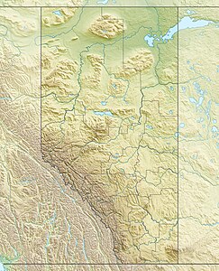
Columbia Glacier, Alberta
| Columbia Glacier | ||
|---|---|---|
| location | Alberta (Canada) | |
| Mountains | Canadian Rockies | |
| length | 8.5 km | |
| surface | 16 km² | |
| Coordinates | 52 ° 9 '36 " N , 117 ° 22' 56" W | |
|
|
||
| drainage | Columbia River | |
The Columbia Glacier in the Canadian province of Alberta is one of the three largest glaciers of the Columbia Icefield in Jasper National Park , along with the Athabasca and Saskatchewan Glaciers .
The glacier has a length of 8.5 km and an area of 16 km². It is the largest glacier spur in the northwestern part of the Columbia Ice Field between Mount Columbia and the Snow Dome . It drops steeply from the plateau in the form of an icefall . The glacier has retreated 394 m in the last 200 years.
The glacier feeds the headwaters of the Columbia River .
Web links
Commons : Columbia Glacier - Collection of Images, Videos, and Audio Files
literature
- C. Simon L. Ommanney: Glaciers of Canada . US Geological Survey Professional Paper 1386 – J – 1 . USGS, 2002.

