
Crêt de la Perdrix
| Crêt de la Perdrix | ||
|---|---|---|
 The Crêt de la Perdrix |
||
| height | 1432 m | |
| location | Loire department , France | |
| Mountains | Massif Central | |
| Coordinates | 45 ° 22 '56 " N , 4 ° 34' 22" E | |
|
||
| Normal way | GR 7 | |

The Crêt de la Perdrix (also Crest de la Perdrix ) is the highest elevation of Mont Pilat at 1,432 m in the eastern massif Central . It is located in the Loire department .
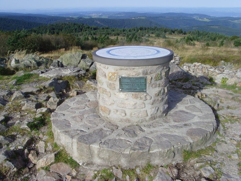
A frequent starting point for hikes on the Crêt de la Perdrix is the small settlement of La Jasserie at an altitude of 1308 m, where the source of Gier and the remains of the oldest surface lift in France are located. The French long-distance hiking trail GR 7 leads over the summit. There is an orientation board at the highest point. On a clear day you can see the Alps and the Rhone Valley in the east, and the mountains of the Massif Central in the west.
Nearby, two memorial stones commemorate the five victims of the crash of an American fighter plane on November 1, 1944.

La Jasserie with the Crêt de la Perdrix in the background (view from the north)

Memorial stone to the plane crash near La Jasserie


Individual evidence
- ↑ https://www.youtube.com/watch?v=-W-V6tAd2vg
- ↑ Wolfgang Timmer: Hike on the GR 7 from Saint Chamond (Loire) to le Vigan (Gard). 2009, accessed November 27, 2009 . and the picture there