Crooked Lake (Boundary Waters)
| Crooked Lake | ||
|---|---|---|
| Geographical location |
Kenora District in Ontario (Canada), Minnesota (USA) |
|
| Tributaries | Basswood River , Siobhan River | |
| Drain | to Iron Lake | |
| Location close to the shore | Ely | |
| Data | ||
| Coordinates | 48 ° 12 ′ N , 91 ° 48 ′ W | |
|
|
||
| Altitude above sea level | 380 m | |
| surface | 41.9 km² | |
| length | 30 km | |
| Maximum depth | 50 m | |
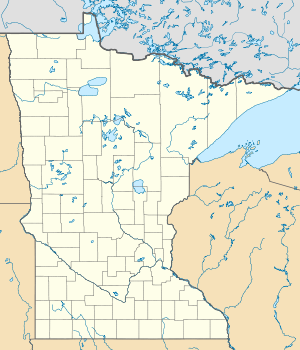
The Crooked Lake is an elongated and branched lake on the border between Minnesota (USA) and Ontario (Canada).
The 30 km long lake forms the border between Minnesota in the south and the Kenora District of Ontario in the north. It has an area of 41.9 km² and is at an altitude of 380 m . The Crooked Lake is divided into a chain of five lake basins, which are connected to each other by a narrow channel. To the east is Wednesday Bay , into which the Basswood River flows. It joins Thursday Bay , Friday Bay , Saturday Bay and finally Sunday Bay in a westerly direction . In the far west, the lake's water flows over the Curtain Falls to the neighboring Iron Lake and on to Lac la Croix .
The lake is located in the Boundary Waters Canoe Area Wilderness . Quetico Provincial Park is on the Canadian side . The Superior National Forest is on the US side . Several canoe routes run through the lake. There are numerous forested islands in Crooked Lake.
