Lac la Croix
|
Lac la Croix Lac La Croix |
||
|---|---|---|
| Geographical location |
St. Louis County in Minnesota (USA), Rainy River District in Ontario (Canada) |
|
| Tributaries | Maligne River , Bottle River | |
| Drain | Namakan River | |
| Places on the shore | Lac la Croix | |
| Location close to the shore | Ely | |
| Data | ||
| Coordinates | 48 ° 22 ′ N , 92 ° 8 ′ W | |
|
|
||
| Altitude above sea level | 361 m | |
| surface | 138 km² | |
| length | 45 km | |
| Maximum depth | 51 m | |
| Catchment area | 13,400 km² | |
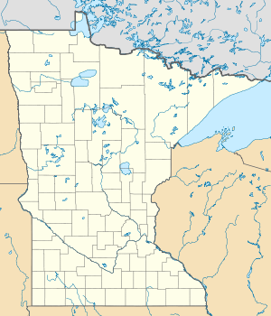
The Lac la Croix (alternative spelling: Lac La Croix ) is a lake on the US-American - Canadian border.
The 45 km long Lac la Croix meanders along the state border. It has an area of 138 km² and a maximum water depth of 51 m. The catchment area of Lac la Croix covers 13,400 km². The lake is located on the Canadian side in Quetico Provincial Park and on the US side in the Boundary Waters Canoe Area Wilderness . Main tributaries are the Maligne River and Bottle River . The Namakan River drains the lake northwest to Namakan Lake . The lake name comes from French and means "lake of the cross".
The lake is popular for fishing. The fish fauna of Lac la Croix includes black crappie ( Pomoxis nigromaculatus ), burbot , pike , common sunfish , arctic smelt , stone perch , Canadian pikeperch , the sucking carp Moxostoma macrolepidotum and Catostomus commersoni , black bass , American whitefish , American vendace , and blue eye perch .
Web links
Individual evidence
- ↑ a b c d Minnesota: Dept. of Natural Resources
- ↑ Namakan River at the gauge at the outlet from Lac la Croix - hydrographic data from R-ArcticNET
