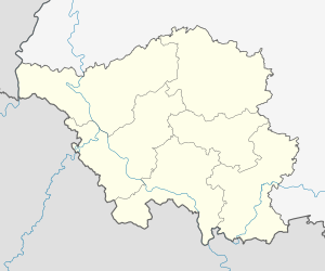
Daarler Bridge
Coordinates: 49 ° 13 ′ 25 ″ N , 7 ° 0 ′ 47 ″ E
| Daarler Bridge | ||
|---|---|---|
| The Daarler Bridge with the Römerbrücke thermal power station | ||
| use | Cyclists and pedestrians | |
| Convicted | Saar | |
| place |
Saarbrücken district of Sankt Arnual |
|
| start of building | 1936 | |
| completion | 1937 | |
| location | ||
|
|
||
The Daarler Bridge , also Daarler Brigg and Sankt Arnualer Bridge , (until 1946: Schlageter Bridge ) is a bridge in Saarbrücken .
location
The Daarler Bridge begins at the end of Straße des 13 January . The end of a disused railway line of the adjacent Römerbrücke power station leads under the bridge . The bridge then leads over the Saar and a pedestrian path before it ends at an underpass on the A620 motorway .
history
Already 2000 years ago there was a bridge near a Roman fort at the place where the Daarler Bridge stands today. Although the fort was destroyed early on, the bridge still existed in 1281. In 1936 a blue steel bridge was built on the same spot where the Roman bridge used to be. It served as a pedestrian bridge even then and was opened in 1937. At that time it was still called the Schlageter Bridge, named after Albert Leo Schlageter . The bridge was blown up during World War II . In 1946, the Schlageter Bridge was rebuilt in the same place, but shortly afterwards it was renamed Daarler Bridge.
Individual evidence
- ^ The Saarland: map, picture, word; 3. Edition; 2008; by Horst Brausch; published by Schroedel Verlag ; ISBN 978-3-507-50544-5
- ^ Article in the SZ about bridges in Saarbrücken

